⭐ The grid is an address system
Kyoto was laid out in 794 on a Chinese grid and the grid is still there, which makes it the easiest large Japanese city to navigate — once you notice that the street names are numbers.
Shijō is fourth avenue. Sanjō is third, Gojō fifth, Shichijō seventh. They run east–west and the numbers climb as you go south. So Sanjō is north of Shijō, always, and you can work out which way you are walking from a street sign alone.
⭐ The two fixed references are the Kamo river, running north–south through the middle, and the eastern hills behind it. If you can see the hills, that is east.
Arriving from the airports or on the Shinkansen is on getting here; this page is about moving once you are in.
The subway is small
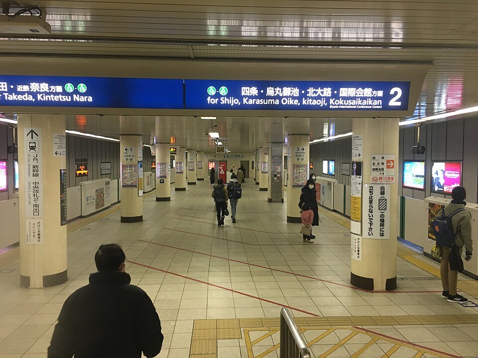
There are two subway lines: one north–south, one east–west, crossing in the centre. That is the whole underground network for a city of well over a million people.
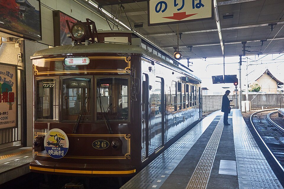
Several private railways and a JR loop fill in around it, and between them they reach Fushimi Inari and the western side of the city well. What they do not reach is most of the temples.
⚠️ The buses are the weak point
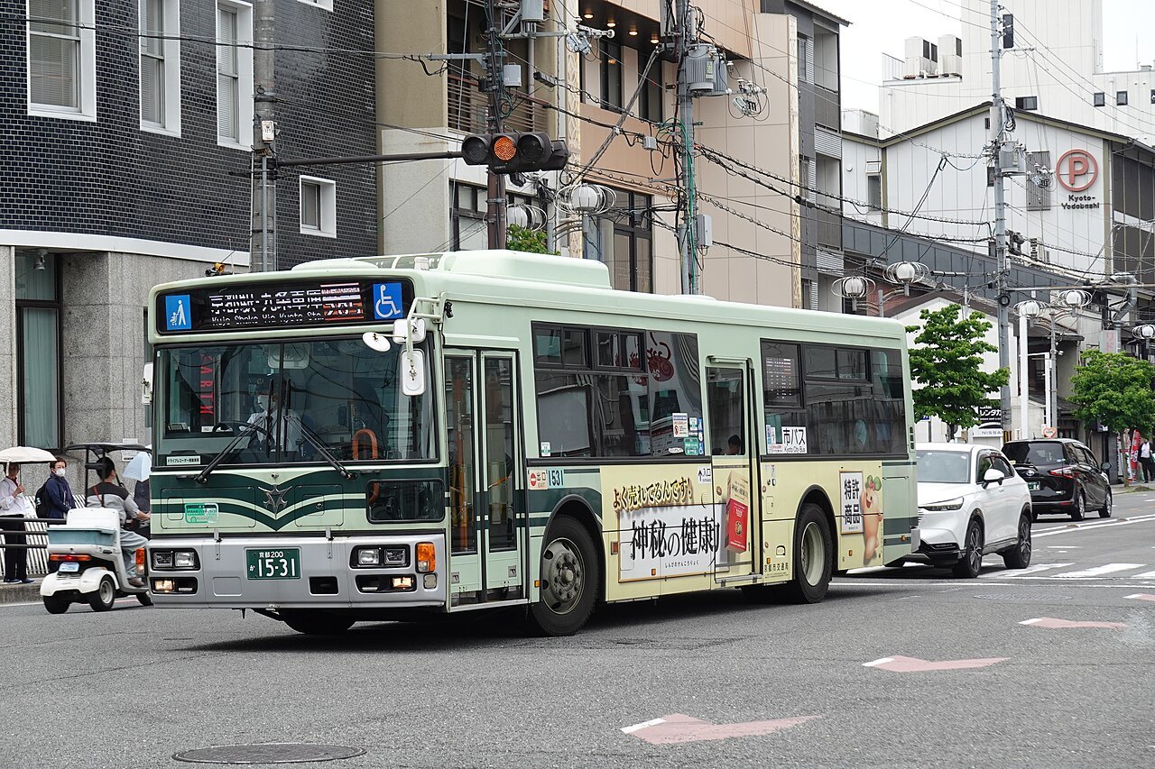
The bus network is how you get to a great many of the sights, and it is genuinely overloaded — to the point that the city has been actively trying to move visitors off the most crowded routes and onto rail and dedicated services.
Buses here are boarded at the back and paid leaving at the front. Expect them to be full, expect them to be late in the afternoon, and do not build a tight day around one.
⭐ The practical answer is to plan by district rather than by sight: do the whole of the eastern hills on foot in one go, do Arashiyama in one go, and take rail between them rather than crossing the city by bus twice.
On foot, and on a bicycle
⭐ Kyoto is flat, gridded and compact in the middle, which makes it one of the best cities in Japan to walk or cycle. The Philosopher's Path, the river banks and the whole eastern strip are walking, not transport problems.
⚠️ Where you may leave a bicycle is regulated and enforced, and pavements are not a free-for-all. Use the marked parking.
Booking the practical bits
Some links on this page are affiliate links. If you book through one we may earn a commission, at no extra cost to you. It does not affect what is recommended here, and no sight page on this site carries one.
Two things that actually help here: somewhere to leave a bag on the day you check out, because the good hours in this city are the early ones; and a data plan that works before you reach the bus stop.